
Home
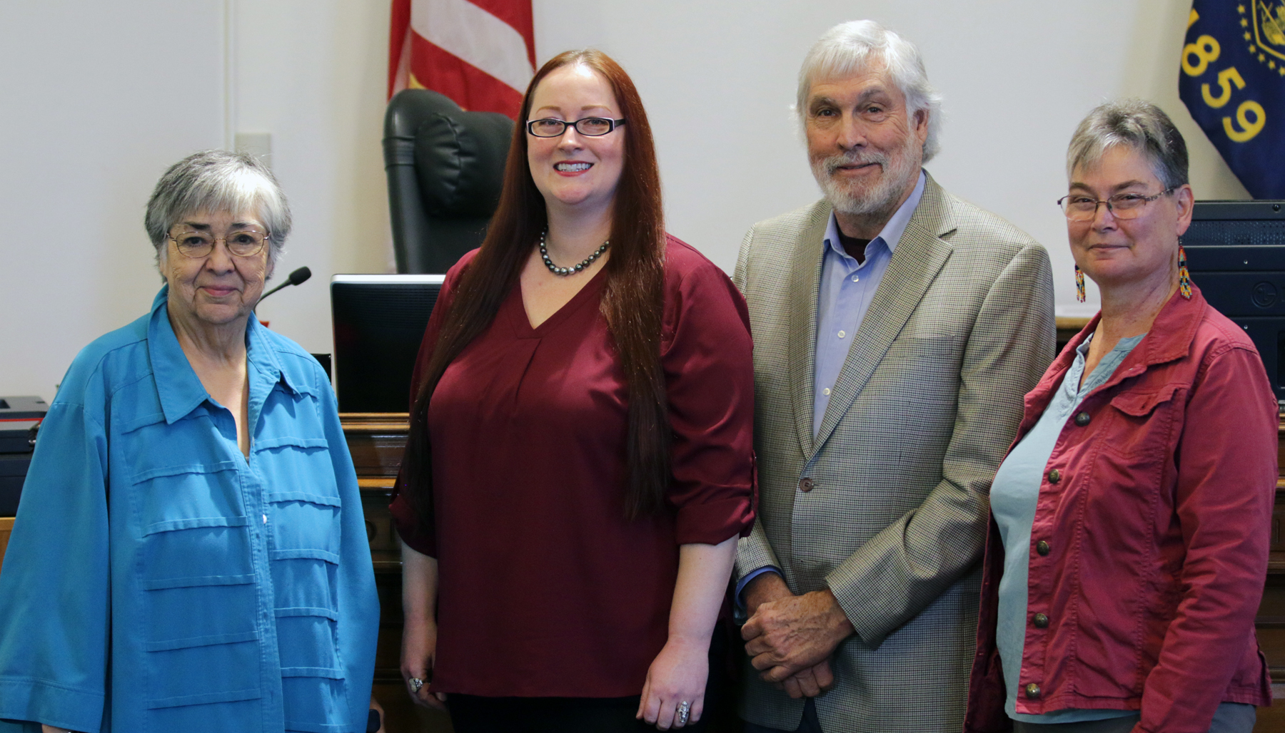
Board of Commissioners
Welcome to Benton County where we are at your service, every day…
As your elected officials we would like to invite you to learn more about our roles, attend a public meeting, or see a list of current events in Benton County. Our Board meetings are open to every member of the community and public comments are welcome.
Quick Links
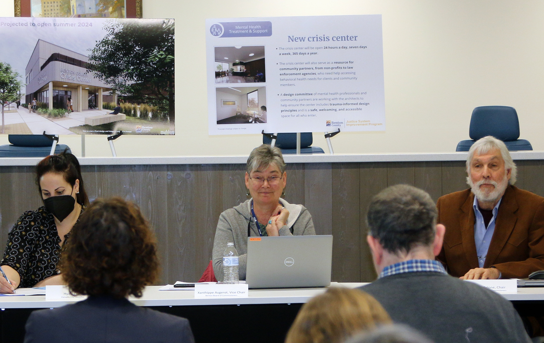
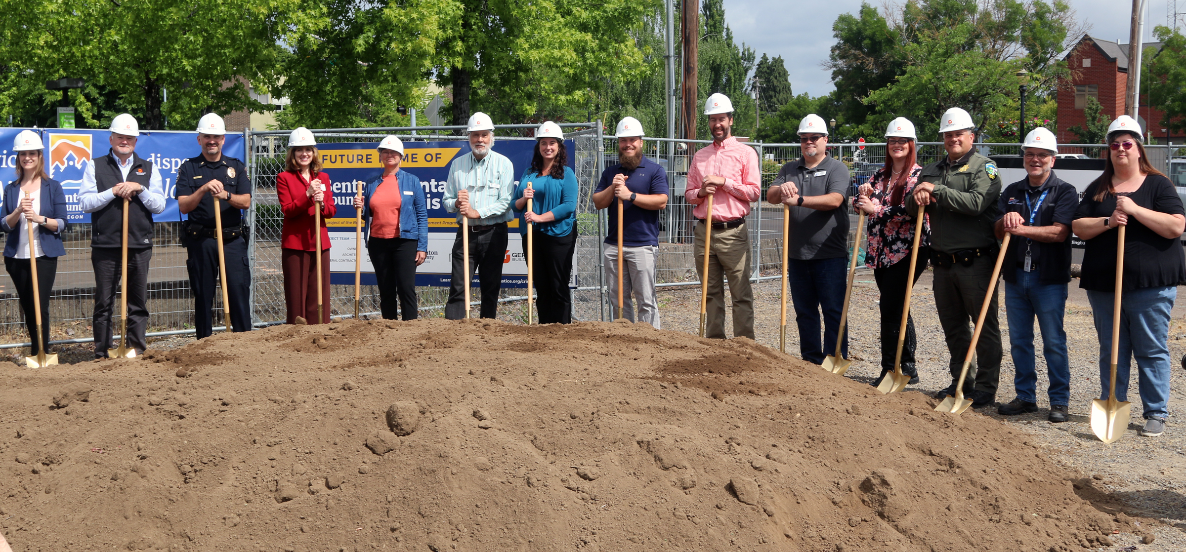
Latest News
Check out what's happening in Benton County!