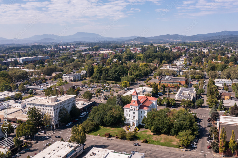
September 02, 2010


Benton County Riparian and Wetlands Project

Welcome to the Benton County Riparian and Wetlands Project Website

Sign me up! Stay up to date on the Project after you join the e-mailing list

Detailed Riparian Schematic       Oregon Wetlands

Benton County has hundreds of stream miles and wetlands within the County. Numerous high quality streams, riparian corridors and wetlands within the County are still around because of residents' and visitors' values for planning and management of our shared water resources.  The Riparian and Wetlands Project will form a plan to help keep the natural function of these vital areas.

movie reel iconSee Project Flow

Looking for Resources to Plan, Conserve or Restore

Riparian Area and Wetlands?

Why are Riparian and Wetland Areas Important to Residents of Benton County?

Intact riparian areas can improve property values, stabilize eroding banks, enhance fish and many other wildlife habitat, improve water quality by filtering runoff/contaminants, and can protect against flood damage of property.

Intact wetland areas can improve property values, increases water quality, store flood water, provide fish and wildlife habitat--many rare species rely on remaining wetlands for survival.

Did you know: From 2004-2007 Benton County residents engaged in the Comprehensive Plan development with County Staff, Planning Commission and the Board of Commissioners adopted a policy to undertake a “Goal 5 process and adopt a protection program for significant riparian areas within 18 months of adoption of the plan amendments”.

Residents' also emphasize taking the appropriate steps for protecting headwaters of streams along with wetlands in Benton County.

What are the Goals of this Project?

What is the Riparian and Wetlands Project Goal and Outcomes (Objectives)?

Riparian and Wetlands Advisory Group (RWAG)(diverse landowners, scientists, residents, and County Staff) Goal:  "Create a plan to support and improve natural function of streams, riparian areas and wetlands within the unincorporated areas of Benton County, to comply with State planning rules and Benton County’s Comprehensive Plan".

1. Outreach and Incentives to Gain Project Involvement from Local Residents and to protect and enhance Riparian and Wetland Areas.

2. Create a Benton County Riparian and Wetland Inventory and Update the Benton County Riparian and Wetlands Maps (use of new LiDAR Maps!)

3. Determine planning code requirements (where necessary) and support of incentives for improving natural function of riparian and wetland areas.

Latest News

* Benton County Riparian and Wetland Project featured on KLCC local radio (Nov. 3, 2009)

Tuesday, December 8 - Benton Soil and Water Conservation District
Site Preparation and Native Plant Selection for Riparian Areas...more information

'Come-All' Kickoff meetings about the Riparian and Wetlands Project around the County

November Kickoff Community Meetings Completed

Philomath: 7 to 8:30 pm on Nov. 10 at the Benton County Historical Museum upstairs meeting room;
Lewisburg: 7 to 8:30 pm on Nov. 12 at the Mountain View School library;
Alsea: 7 to 8:30 pm on Nov. 16 at the Community Center library meeting room; and
Monroe: 7 to 8:30 pm on Nov. 17 at the Monroe High School library

•  Wren: 7 to 8:30 pm on Nov. 18 at the Wren Community Center.

•  Adair Village: 7 to 8:30 pm on Nov. 19 at Adair Village City Hall

•  Marys River Watershed Council work in Woods Creek to improve habitat


Liability & Privacy Policy  •  Copyright Policy  •  E-mail Webmaster
Benton County Riparian and Wetlands Project  •  360 SW Avery Ave.  •  Corvallis, OR 97333  •  541-766-6819
RSS Facebook Twitter