
Home
Natural Areas, Parks and Events Department
Nature, recreation, events and history at areas maintained, conserved, and restored for your enjoyment and for future generations! Benton County Commissioners, Parks Advisory Board and the Natural Areas and Parks Department staff invite you to enjoy your parks!
Something for everyone
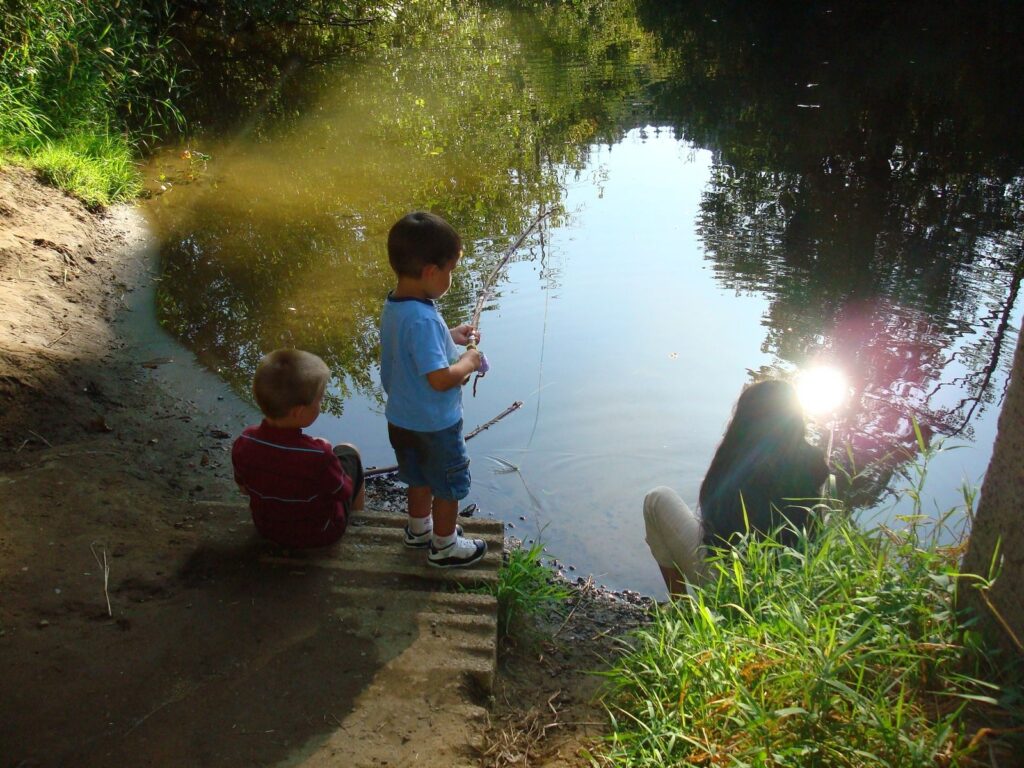
Whether going out for a day of fishing, planning a family outing or exploring the many plant communities and wildlife habitats — Benton County parks have something for everyone.
Serving the community
The Benton County Natural Areas and Parks Department serves the interests and pursuits of Benton County residents by providing access to natural, historic, and recreational areas and conserving, restoring and developing parkland investments.
Explore opportunities
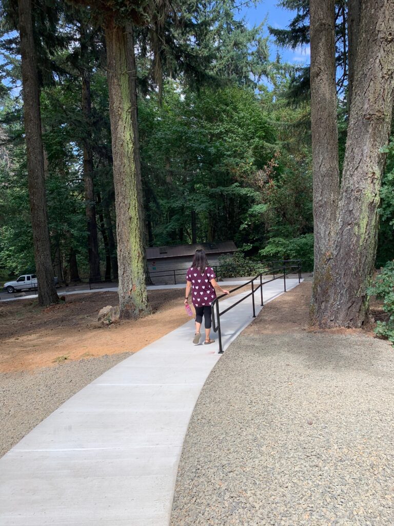
These web pages highlight the recreational opportunities and habitat management at your county natural areas and parks. Explore the information about your parks and get outdoors!
Follow us on Facebook
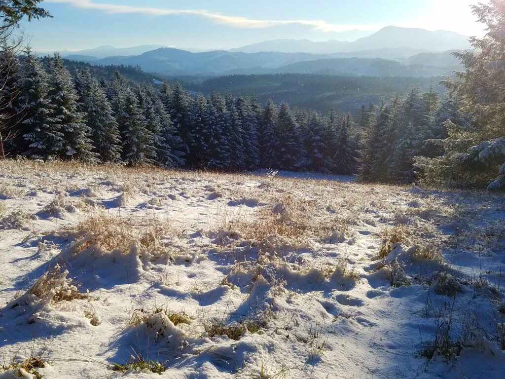
Learn what’s happening in the nearly 1,500 acres of forest, prairies, and wetlands managed by the Benton County Natural Areas, Parks & Events Department.