
Home
I want to…


News

Sheriff’s Office Hosts Drug Take Back Event
Published: 2024/03/11 by Sheriff's Office

Benton County Celebrates Public Health Week & Collective Effort Toward Health and Well-Being
Published: 2024/04/04 by Health Department
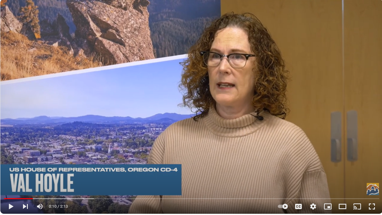
Representative Hoyle tours Benton County to assess allocation of federal funds
Published: 2024/04/09 by Board of Commissioners
The Benton County Fair & Rodeo proudly presents the 2024 Main Stage line-up!
Published: 2024/04/10 by Board of Commissioners

Benton County announces Alsea Safe Routes to School crossings project
Published: 2024/04/11 by Board of Commissioners
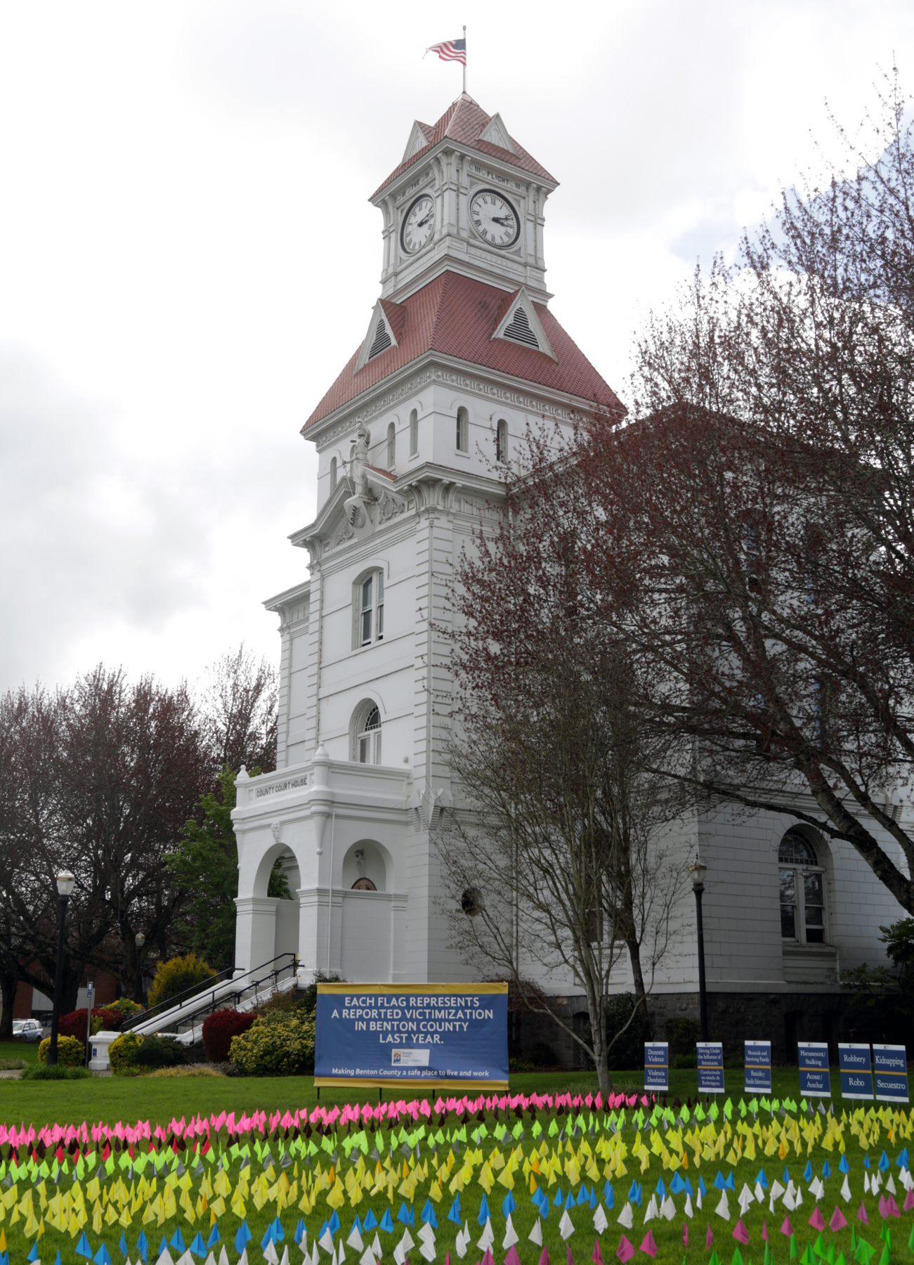
Benton County Victim Assistance Program Scheduled to Commemorate National Crime Victims’ Rights Week
Published: 2024/04/17 by Board of Commissioners
Sign up to stay in touch!
Sign up to get Benton County news and updates delivered to your inbox.
The link below will take you to the official Benton County, Oregon sign up page.